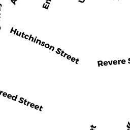
395 REVERE ST
Owner Information
CITY OF REVERE / PAUL REVERE
101 SCHOOL ST
REVERE, MA 02151


Property Details
395 REVERE ST is classified as a Improved, Selectmen or City Council (Municipal) (School).
The primary structure on this property was built in 2009. There are 35,624ft2 of built area within this property. There is 35,624ft2 of residential/living space within this property.
395 REVERE ST is valued at $12,118,800. The land is valued at $930,600 and the structures are valued at $11,188,200.
This property is in Zone GB. Confirm with local Zoning Board authorities to ensure there are no overlays or other easements on this property.
395 REVERE ST was last sold on Monday, January 1, 1900 for $0.
Assessment data from fiscal year 2022.
Flood Data
This property is partially within the AE Zone (within floodplain). Approximately 1.17 acres (40.58%) of the property is within this zone.
The base flood elevation for this flood zone is 12 feet.
This information is sourced from the FEMA National Flood Hazard Layer. See our full disclamer.
Broadband Internet Providers
| Provider | Type | Bandwidth (mbps) | |
|---|---|---|---|
| GCI Communication Corp. | Satellite | 0 | 0 |
| HughesNet | Satellite | 25 | 3 |
| Starry, Inc. | Fixed Wireless | 200 | 200 |
| RCN | Fiber | 1000 | 20 |
| VSAT Systems, LLC. | Satellite | 2 | 1 |
| Verizon New England Inc. | DSL | 10 | 1 |
| RCN | Cable | 500 | 20 |
| Comcast | Cable | 1000 | 35 |
| Viasat Inc | Satellite | 100 | 3 |
| RCN | Cable | 1000 | 20 |
Broadband service provider data from December 2020.
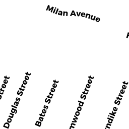
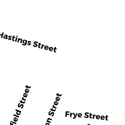
Adjacent Properties
- 0 RAILROAD LOCATIO
Dept. of Conservation and Recreation (DCR) - Division of Urban Parks and Recreation (non-reimbursable) owned by MASS BAY TRANS AUTHORITY - 11 FRIEND ST
Single Family Residential owned by LECHHEB YOUSSEF - 36 ROOSEVELT ST
Two-Family Residential owned by JEAN SERGO - 0 ROOSEVELT ST
Developable Residential Land owned by JEAN SERGO - 44 ROOSEVELT ST
Two-Family Residential owned by NARDONE ANNE - 0 ROOSEVELT ST
Undevelopable Residential Land owned by NARDONE ANNE K